Poštovné zdarma nad 2500 Kč, Osobní odběr v Praze i v Brně
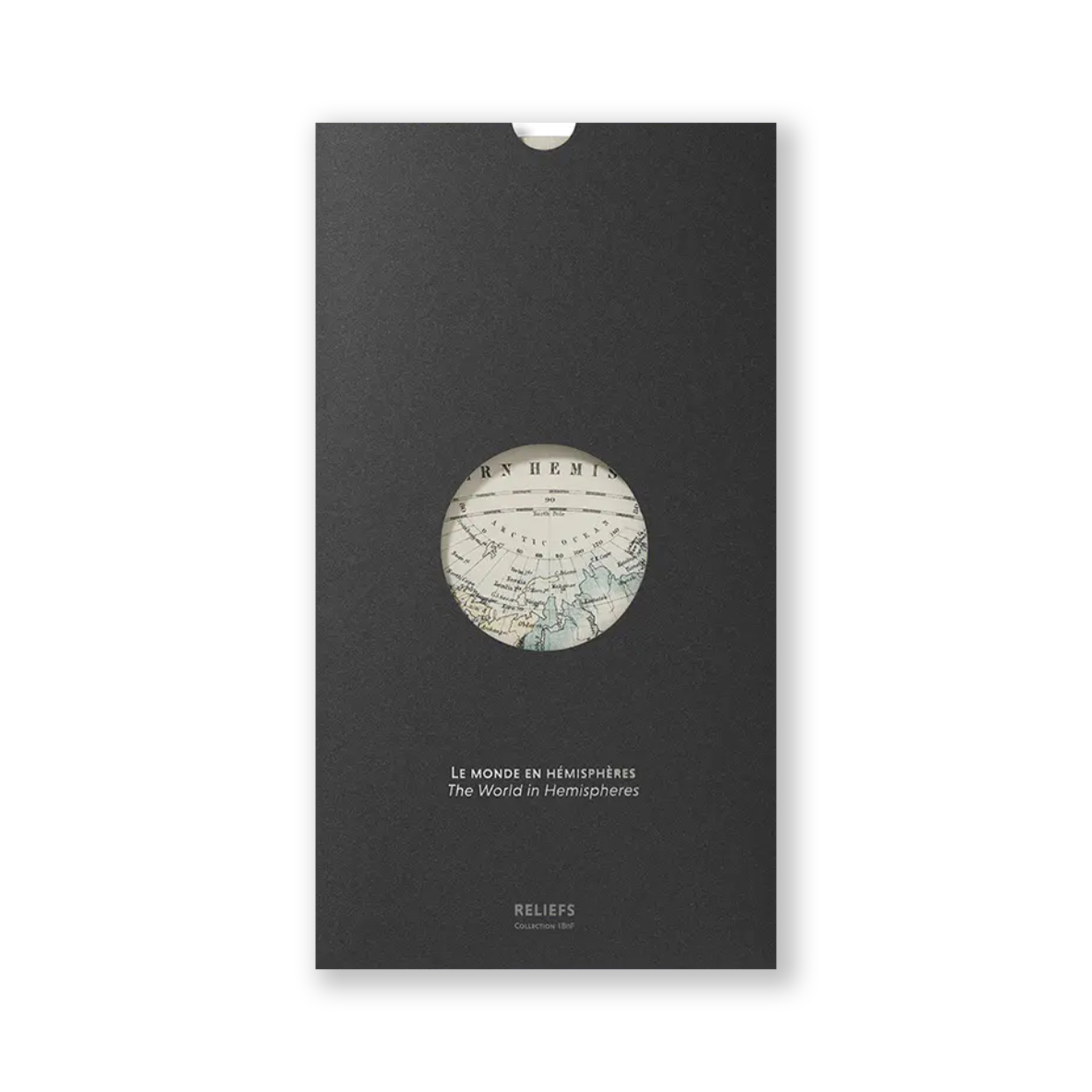
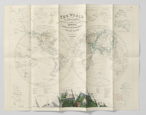
Taken from a 'Royal Illustrated Atlas' published in Scotland, this predominantly hydrographic depiction of the two hemispheres, as they were known at the time, highlights the major rivers and their drainage basins. Along the border, it also features the tallest landforms known and measured by the scientists of the period.
s DPH